Afternoon high tide Fox Grove Marina;

October 30, 2012
Sandy has now moved into central PA as a tropical storm, the Philadelphia area was lucky with localized damage and power outages, but major highways are open. The surge in the Delaware River while above flood stage produced very localized flood in areas that normally flood. River levels for the rest of the week are predicted to return to normal.

http://water.weather.gov/ahps2/index.php?wfo=phi

October 29, 2012
Sandy will make landfall near Atlantic City NJ this evening then cross South Jersey to Philadelphia early Tuesday morning.


October 27, 2012
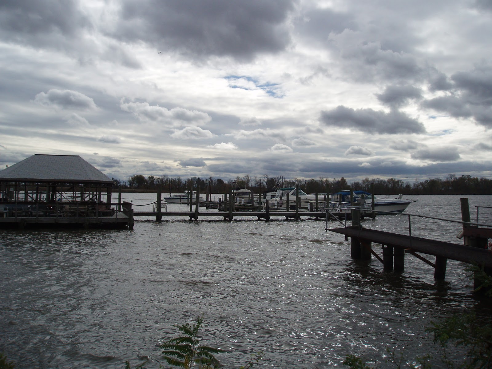
Haul-out before the storm, the season is over.


Potential for stormy weather to end the month, no sailing this weekend.. If the projected path holds true then we can expect a potential storm surge in the Delaware Bay and River, followed by flooding later from heavy rain up-stream in the watershed. The storm is slowing its progress so tropical storm conditions will be present for more than a few days. Expect a large surge and flooding for at least a week.

Late October monday afternoon sail at Essington10-22-2012
 |
| Afternoon sun over Little Tinicum Island |
 |
| Little Tinicum Island |
 |
| West end of Little Tinicum Island |
 |
| Lazzareto and float plane dock |
 |
| Corinthian Yacht Club |
No comments:
Post a Comment